Below are some links that can provide informational updates to the status of the Sand Fire:
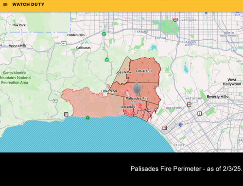
Geo Map with Activity mapped out for the past days – – – – click here for the LEGEND Outline with crosshatching: Red is active burn, orange is past 12 hours, and black is past 24 hours
Google Map with fire and evacuation areas
Los Angeles County Sheriff, Fire, and Aircraft – Santa Clarita Valley – Live Audio Feed Web Player
ABC 7 Latest Fire Updates, Road Closures, Evacuations & Evacuation Centers
Landsat Image Gallery – Sand Fire Burn Scar
Angeles National Forest Twitter Feed
Sand Fire WEST – Sylmar, Kagel Canyon, Sunland-Tujunga, Lake View Terrace -Facebook Page


